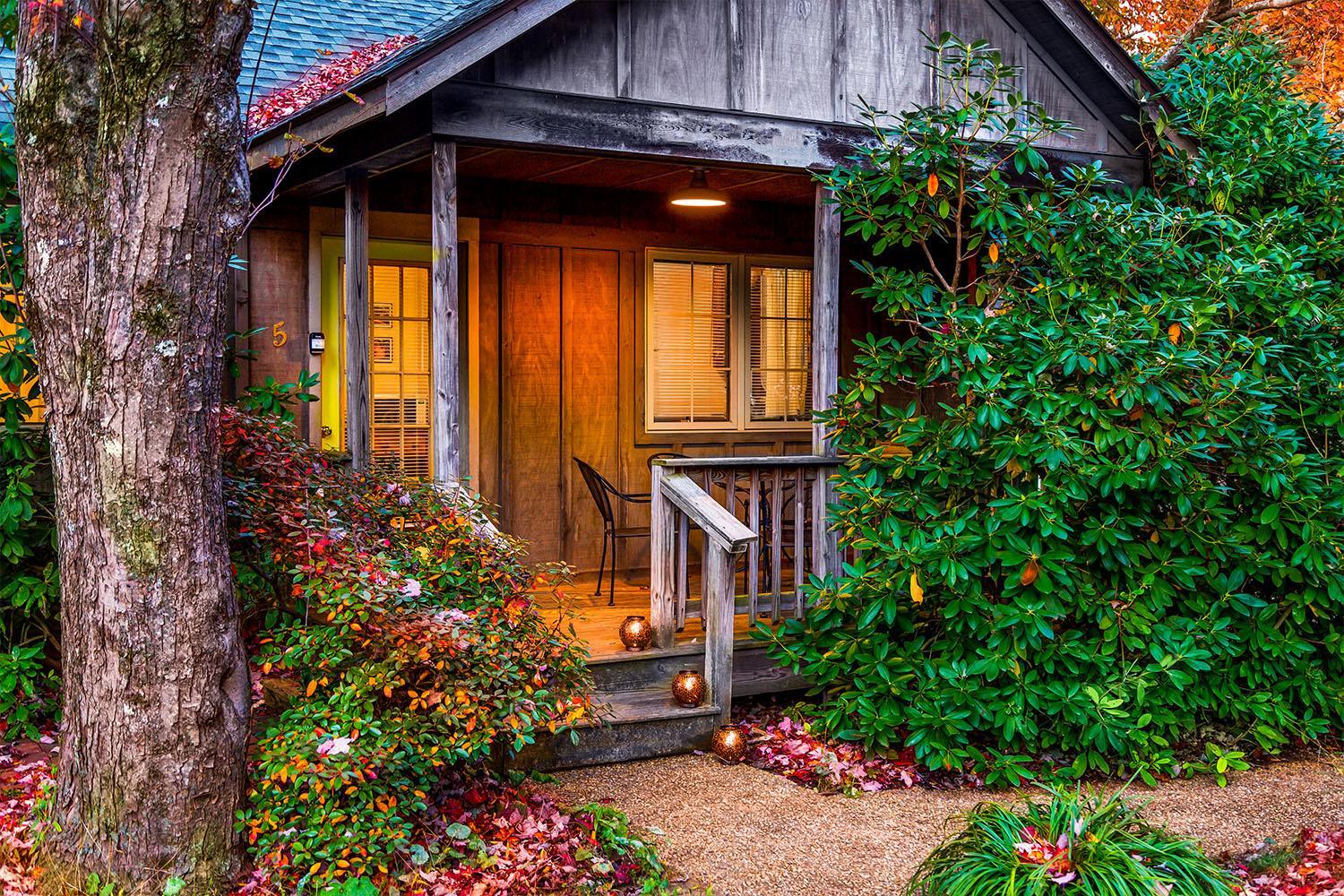
Lyndhurst, VA · 1.8 mi from the trail
Hiking trailsHorseback ridingFishing
Usually from $304/night · Reopens by Feb 2027Length is measured along the mapped trail. Trails are mapped by volunteers on OpenStreetMap; check conditions, closures and who may use it (some trails are shared with bikes or horses) with the land manager before you go. See it on OpenStreetMap ↗
Within 10 miles of the trail, closest first.
Lyndhurst, VA · 1.8 mi from the trail
Steeles Tavern, VA · 8.1 mi from the trail
Trail data © OpenStreetMap contributors and the Overture Maps Foundation, available under the Open Database License. Data & credits
